-40%
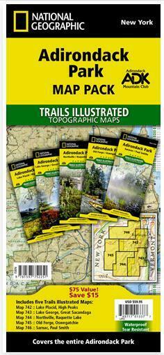
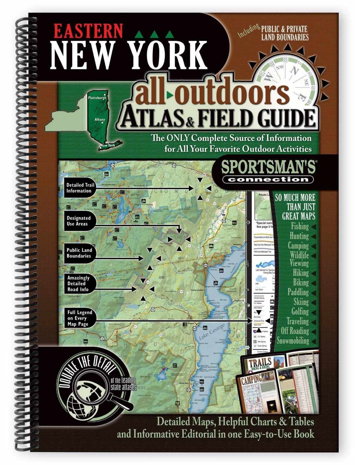
Adirondack Park New York Topo Map Pack Waterproof Trail Maps National Geographic
$ 25.31
- Description
- Size Guide
Description
5 National Geographic Trails Illustrated Maps - Detailed, Waterproof, Rip-ResistantDetailed, Topographic Maps Covering the Entire Adirondack Park
Produced in Cooperation with the Adirondack Mountain Club
NatGeo's Trails Illustrated Maps are the gold standard for trail maps.
5 Waterproof, Tear-Resistant Maps in this package
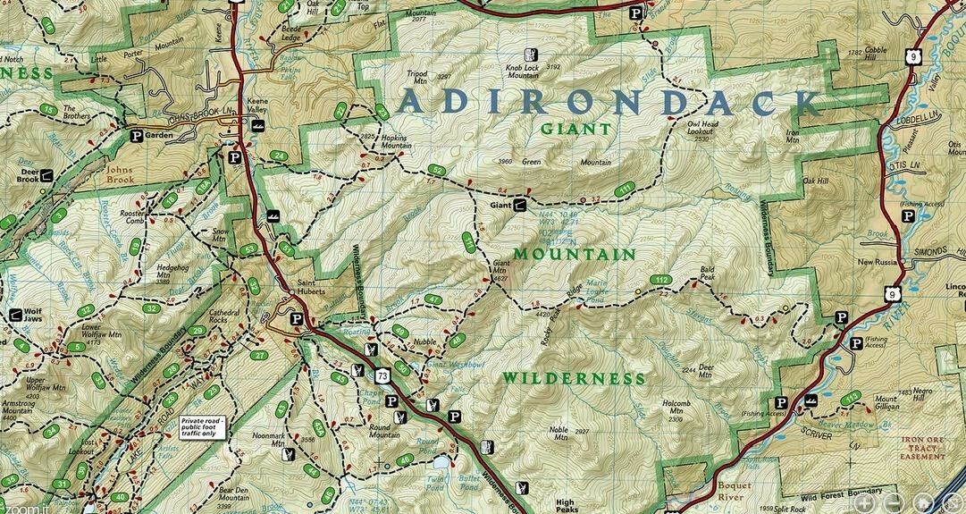
Scale 1:75,000. Includes UTM grids for use with GPS unit & trail mileage charts.
Each map is printed two sides, 25" x 38", folded to a handy 4" x 9".
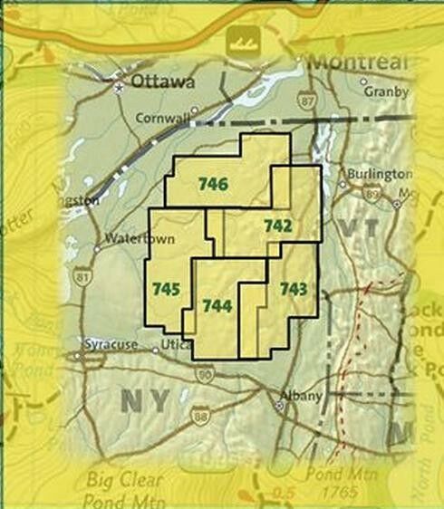
Here are details of the 5 maps in this set:
Old Forge, Oswegatchie
Map coverage includes western and southwestern Adirondacks, including Five Ponds Wilderness, William C. Whitney Wilderness, Round Pond Wilderness, Pepperbox Wilderness, Ha-de-ron-dah Wilderness, Cranberry Lake Wild Forest, Black River Wild Forest, Independence River Wild Forest, Aldrich Pond Wild Forest, Sargent Ponds Wild Forest, Horseshoe Lake Wild Forest, Watsons East Triangle Wild Forest, and Grasse River Wild Forest. A Western Trail Chart inset, along with UTM grids for use with your GPS unit and a trail mileage matrix, keep you on course.
Lake Placid, High Peaks
Map coverage includes Saranac Lake Islands and Forest, Blue Mountain Wild Forest, High Peaks Wilderness, Vanderwhacker Mountain Wild Forest, Sentinel Range Wilderness, Dix Mountain Wilderness, and Hoffman Notch Wilderness. The east side, bordered by Lake Champlain, shows Clinton State Forest, Jay Mountain Wilderness, Hurricane Mountain Wilderness, and Hammond Pond Wild Forest.
Northville, Raquette Lake
Coverage includes Siamese Ponds, Silver Lake, West Canada Lake, and Blue Ridge Wilderness Areas; Wilcox Lake, Shaker Mountain, Ferris Lake, Moose River Plains, Sargent Ponds, Blue Mountain, and Vanderwhacker Mountain Wild Forests; and the Northville-Lake Placid Trail from Northville to Blue Mountain Wild Forest. Also includes Mayfield, Speculator, Indian Lake, and North Creek.
Saranac, Paul Smiths
Coverage includes McKenzie Mountain and Sentinel Range Wilderness Areas; Raquette Boreal, Whitehill, Saranac Lakes, Debar Mountain and Taylor Pond Wild Forests; Saint Regis Canoe Area; Saint Regis Falls, Lyon Mountain, and Au Sable Forks.
Lake George, Great Sacandaga
Coverage includes Pharaoh Lake and Hoffman Notch Wilderness Areas; Lake George, Hammond Pond, and Wilcox Lake Wild Forests; Ticonderoga, Schroon Lake, Warrensburg, and Lake Luzerne. Includes UTM grids for use with your GPS unit and a trail mileage matrix.
Value of this set if maps were purchased separately would be . MSRP for the set is .95. See our price which includes free Priority Mail shipping to U.S. addresses
ISBN 978-1-59775-225-1
