-40%
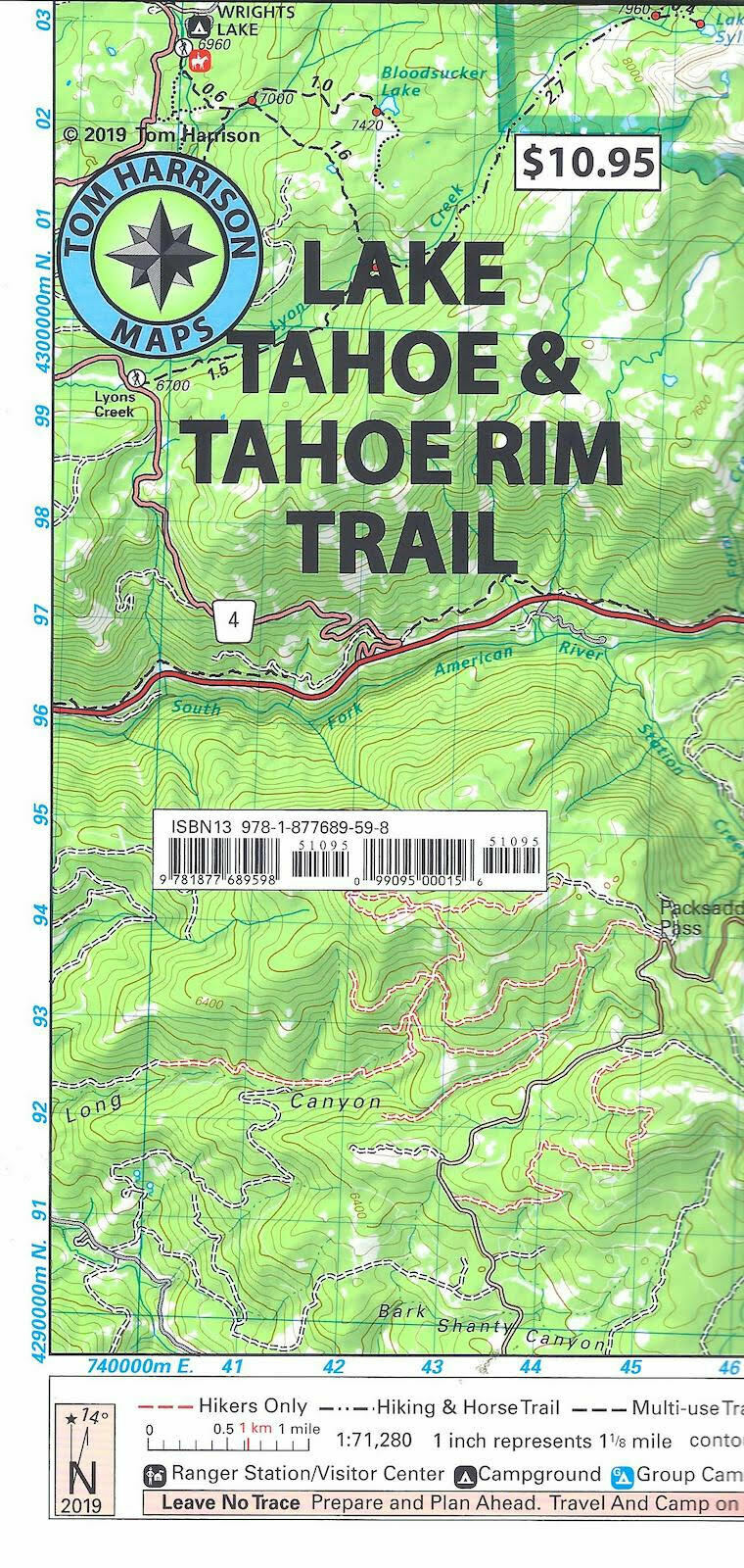
Lake Tahoe & Tahoe Rim Trails Map, California, by Tom Harrison Maps
$ 5.78
- Description
- Size Guide
Description
Lake Tahoe & Tahoe Rim Trails Map, California, by Tom Harrison MapsPrinted on tear resistant & waterproof paper!
Lake Tahoe & Tahoe Rim Trails map has color-coded symbols and trails, mileages between trail junctions, latitude/longitude, UTM grids, contour lines, vegetation, and elevations at trail junctions. Tom Harrison Maps is famous for the beauty and accuracy of its maps. Include the entire Tahoe Rim Trail.
Scale 1:71,280. Contour lines 80ft apart.
Areas included: Meeks Bay, Martis Peak, Kings Beach, Emerald Bay, Spooner Lake, Granlibakken, Marlette Lake, Tahoe Meadows, Desolation Wilderness, South Lake Tahoe, Sugar Pine Point, Alpine Meadows, Fallen Leaf Lake, Echo Summit, Big Meadow, Hope Valley, Homewood and Echo Lakes
Map is Brand New, copyright 2019
ISBN
9781877689598
