-40%
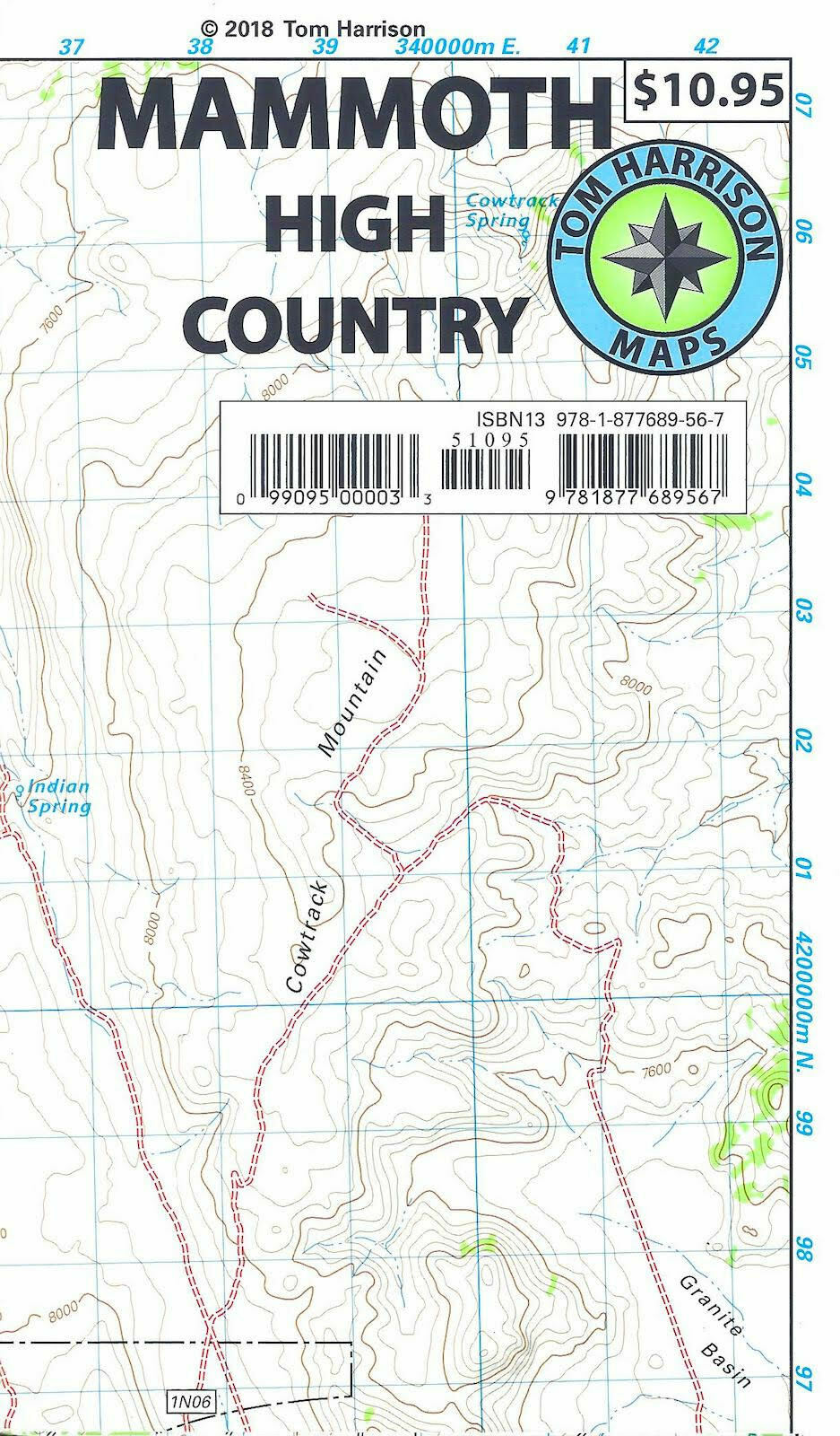
Mammoth High Country Trail Map, California, by Tom Harrison Maps
$ 5.78
- Description
- Size Guide
Description
Mammoth High Country Trail Map, California, by Tom Harrison MapsPrinted on tear resistant & waterproof paper!
Shaded relief topo map of Mammoth High Country trails. Scale:1:63,360, (1 inch represents one actual mile). Printed on waterproof and tear-resistant plastic material. Mammoth High Country area is one of the most popular getaway and outdoors activity areas in California. Coverage on this map includes, Minarets, June Lake, Ritter Range, Convict Lake, Mono Craters, Devils Postpiles, Mammoth Lakes, Agnew Meadows and Thousand Island Lake.
Map measures 26" x 35"
Map is Brand New, copyright 2018
ISBN
9781877689567
