-40%
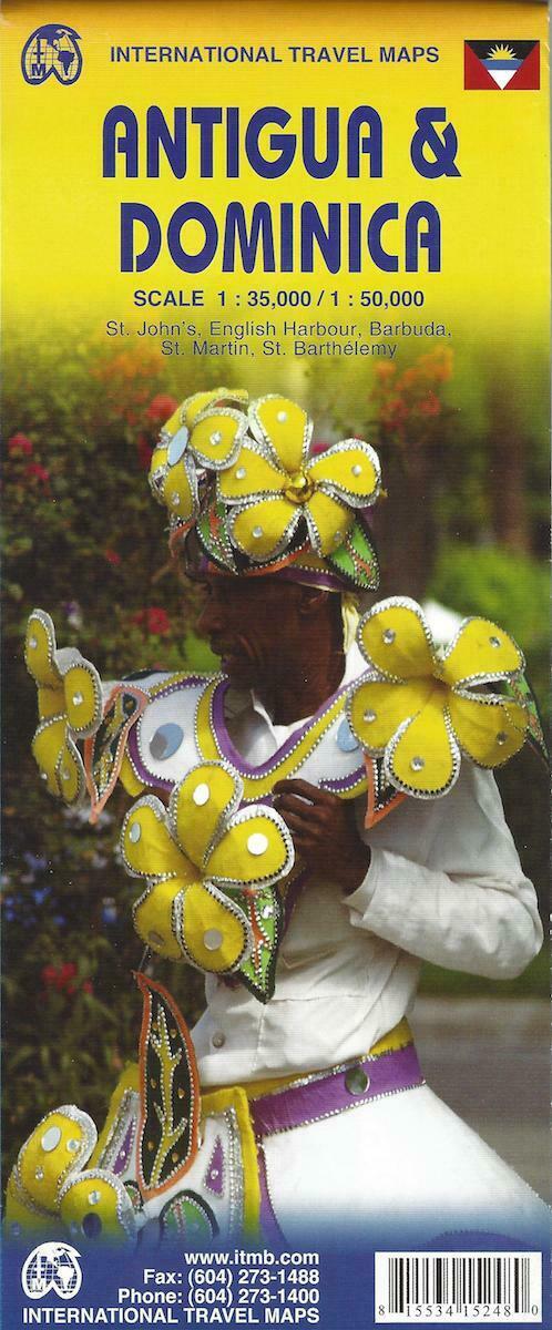
Map of Antigua and Dominica, by ITMB
$ 6.83
- Description
- Size Guide
Description
Map of Antigua and Dominica, by ITMBAntigua at 1:35,000 and
Dominica at 1:50,000, each shown on one side of a map from ITMB indexed and accompanied by street plans of Roseau plus St John’s and the English Harbour area respectively. Road network is presented on a base showing the islands’ topography by contours and altitude shading.
Symbols indicate various places of interest and facilities, including selected tourist accommodation, beaches, diving and snorkelling sites, marinas, locations of petrol stations, etc. On Dominica the Waiukubuli National Hiking Trail is prominently highlighted. Each side is indexed and has latitude and longitude lines at 5’.
Street plans cover the town centers of Roseau and St John’s showing locations of selected hotels and other facilities. The Antigua side also includes an enlargement of the English Harbor area including Nelson’s Dockyard, plus panels with maps of Barbuda (1:25,000), Saint Martin/Sint Maarten, St. Barthélemy and St. Kitts and Nevis.
Map is printed on heavy duty paper. Map measures approx. 39" x 27" when unfolded, printed on both sides.
Copyright 2014, ISBN
978-1553415244
Map is brand new!
