-40%
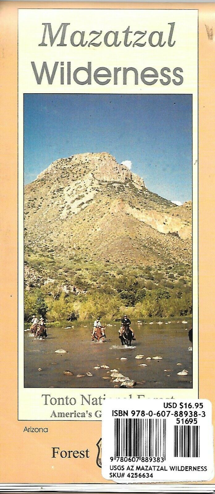
Map of Mazatzal Wilderness, Tonto Nat'l Forest, Arizona, by US Forest Service
$ 6.83
- Description
- Size Guide
Description
Map of Mazatzal Wilderness, Tonto Nat'l Forest, Arizona, by US Forest ServiceThe Mazatzal Wilderness contains over 252,500 acres of the Tonto and Coconino National Forests. Established in 1940 and expanded to its present size in 1984. Its name is from an old Indian culture in Mexico, and is correctly pronounced "Mah-zaht-zahl," meaning "land of the deer." The eastern side of this wilderness predominantly consists of brush or pine-covered mountains, sometimes broken by narrow, vertical-walled canyons. On its west side below the steep brush-covered foothills, the Verde River flows through the Sonoran Desert. This river was designated by the U.S Congress as Arizona's only Wild River Area in 1984.
Includes Elevations range from 2,060 feet along the Verde River to 7,903 feet on Mazatzal Peak.
Waterproof and tear resistant material.
Highlights recreation opportunities such as trails, campground, boat launches, and more
Includes official US Forest Service district office contact information to check local conditions as well as township and range section numbers
Land ownership boundaries (federal, state, private) are color coded
Printed in the U.S.A. Copyright 1998
Map measures 48 x 27 inches, printed on waterproof and tear-resistant paper.
