-40%
National Geographic Trails Illustrated AZ Tonto National Forest Map Pack 1020511
$ 21.11
- Description
- Size Guide
Description
National GeographicTrails Illustrated
Arizona Tonto National Forest
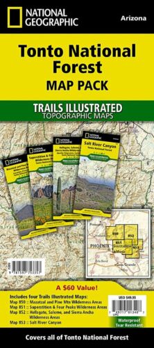
Map Pack Bundle 1020511
, which includes 4 maps: Maps 850, 851, 852 and 853
. Great for Camping, Fishing, Hunting, Hiking, Backpacking, Family Outings, Outdoor Adventure.
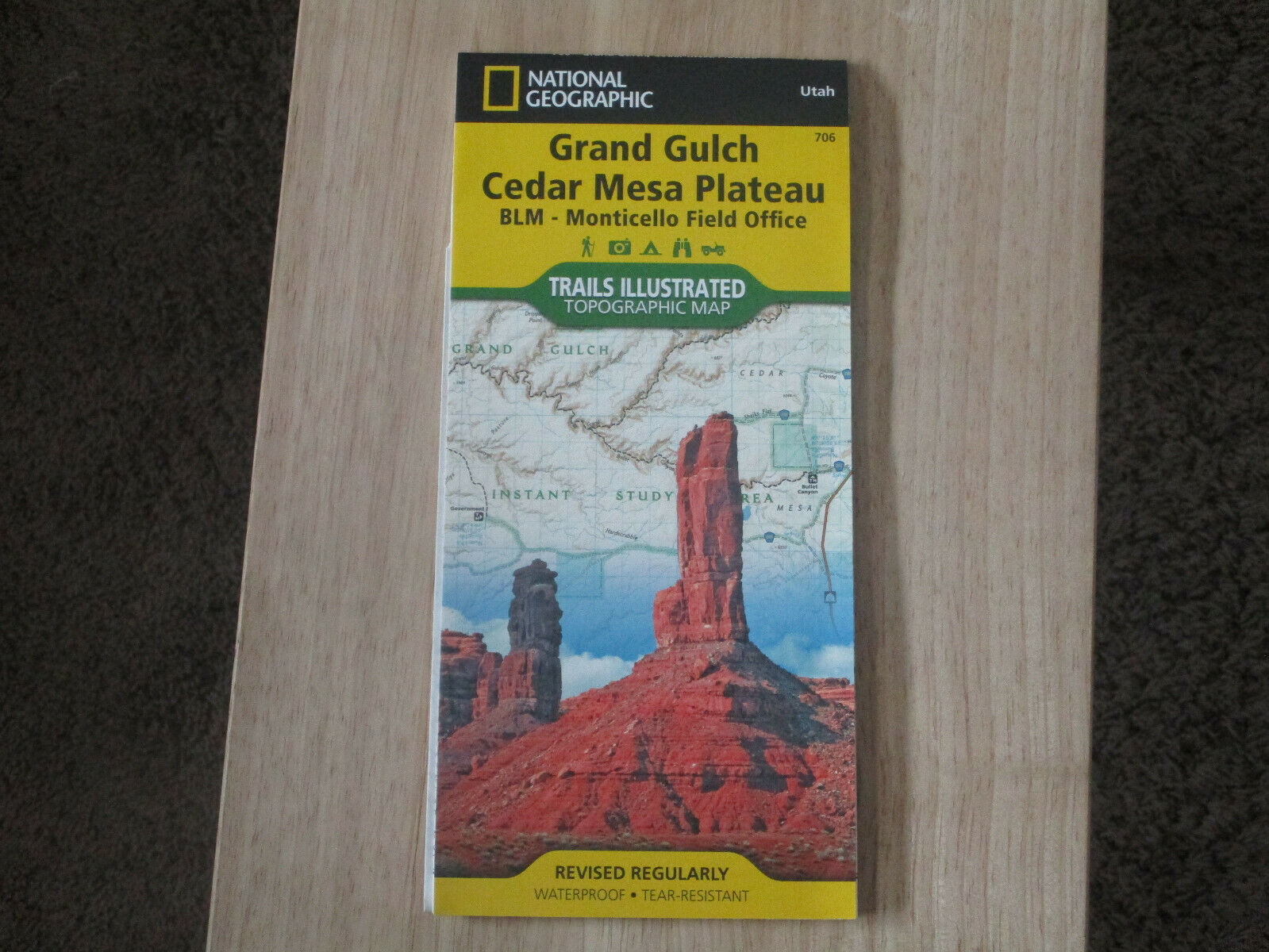
More than just a map, National Geographic Trails Illustrated topographic maps are designed to take you into the wilderness and back. Printed on tear-resistant, waterproof material, this map can go anywhere you do. Each map is based on exact reproductions of USGS topographic map information, updated, customized, and enhanced to meet the unique features of each area. The maps include valuable wilderness tips and Leave No Trace guidelines, along with updated trails, trailheads, points of interest, campgrounds, and much more. With a new color palette and stunning shaded relief, backcountry navigation has never been easier.
One of the most-visited urban forests in the U.S., with approximately 5.8 million visitors annually, the Tonto National Forest spans almost 3 million acres of diverse terrain just outside of Phoenix, AZ. Tonto encompasses a wide variety of vegetation ranging from cactus-studded desert to pine-forested mountains, and numerous recreational opportunities throughout the year.
Our four new Trails Illustrated maps are the most detailed and up-to-date for the forest, carefully researched and developed in co-operation with local land managers and agencies. Each map contains easy to read trails, numbered forest service roads, campsites, access points, scenic points-of-interest, and important facilities.
Like all Trails Illustrated maps our new Tonto National Forest titles are both highly durable and environmentally friendly. Each map is printed in the United States, at a certified green printer, using low V.O.C. inks on waterproof, tear-resistant material.
Proceeds from the sale of Tonto National Forest Trails Illustrated Maps go to support the National Geographic Society’s non-profit mission to increase global understanding and promote conservation of our planet through exploration, research, and education.
The 4-map pack bundle includes the following coverage highlights: Mogollon Rim, Superstition Wilderness, Mazatzal Wilderness, Pine Mountain Wilderness, Four Peaks Wilderness, Hellgate Wilderness, Salome Wilderness, Sierra Ancha Wilderness, Salt River Canyon, Bartlett Lake, Horseshoe Lake, Saguaro Lake, Canyon Lake, Apache Lake, Roosevelt Lake, Verde River, Salt River, The Rolls and Bulldog Canyon ATV areas, and more.
Product Features:
Approximately 4.25" x 9.25" folded; 26" x 38" fully opened
Scale = 1:70,000
Waterproof, tear-resistant
This listing is for the Arizona Tonto
National Park
/ Superstition / Salt Lake/ Mazatzal Wilderness Topo Map Bundle 511, which includes 4 maps:
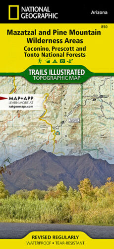
850
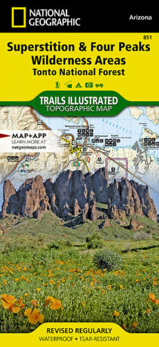
851
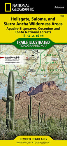
852
853
For other states and maps visit our store.
TIP 1:
For lower prices on our maps, check out our promotions (click the link above the picture). Here is the info: Purchase 2 - 3 maps and get 10% off, 4 or more will
get you 15% off! This promo includes ALL of our maps. For example, purchase 2 Trails Illustrated maps, 1 Destination map, and 1 Adventure map (total of 4) and get
15% off!! Just put everything in your shopping cart and you will see the savings!
TIP 2:
We have a huge selection and great prices on our National Geographic maps!
Click
here
to go to our store,
click on the store category called Maps & Books,
then browse our sub-categories, or use the Store search tool to find items quickly.
Requirements:
None.
You will receive:
4
National Geographic
Trails Illustrated Maps.
Retail packaging, shipped in a poly envelope. Shipping weight 1 lb.
If you have any questions or concerns, please contact us before or after the sale - we want you to be a happy customer!
Thanks for looking!
