-40%
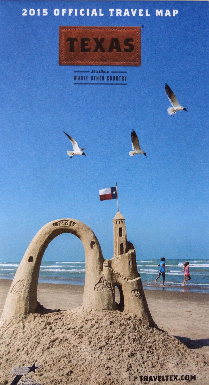
NEW 2015~TEXAS Official Travel Map~Dept.of Transport.~Index+26 Inset Area Maps
$ 3.14
- Description
- Size Guide
Description
NEW 2015 MAPTEXAS
INDEXED
Inset Area Maps:
Texarkana, Tyler, Nacogdoches-Lufkin, Odessa-Midland,
Sherman-Denison,
Temple-Belton-Killeen, San Antonio, Lubbock,
Abilene, Denton, Dallas-Ft. Worth,
Brazosport, Waco, Bryan,
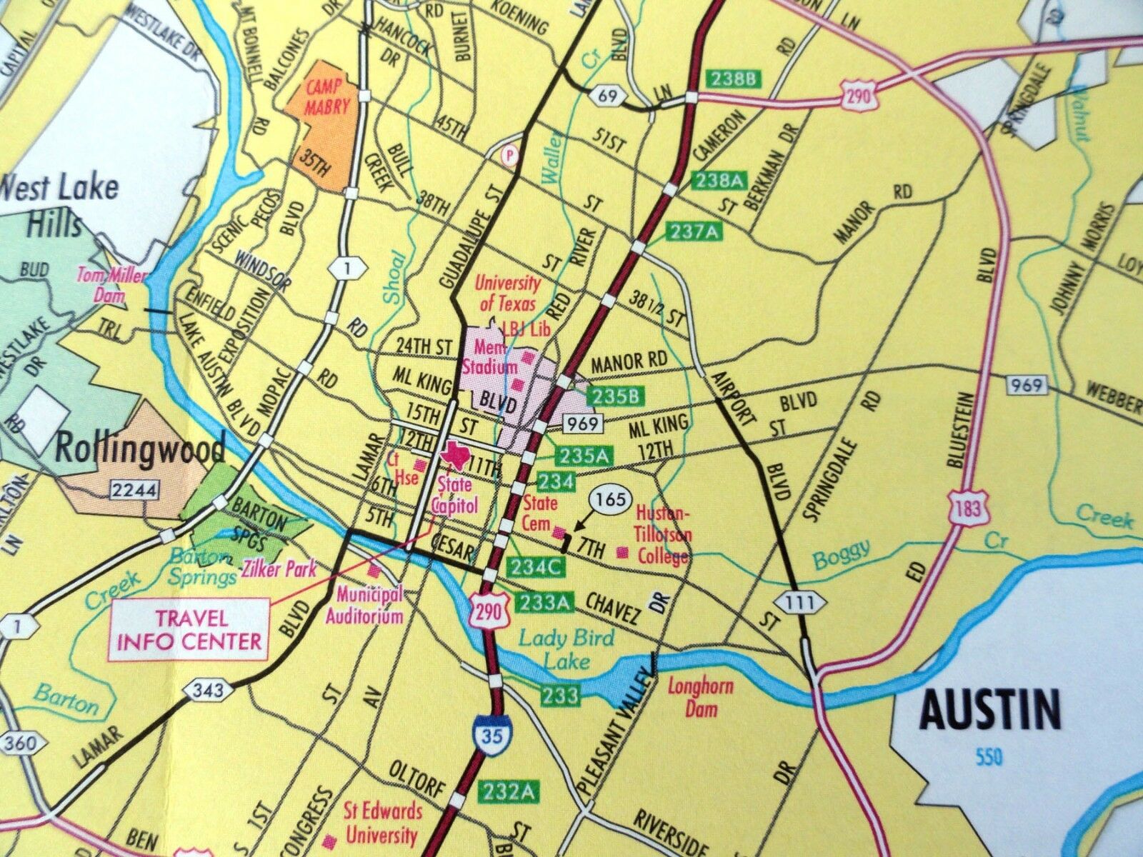
Houston, Corpus Christi, Wichita Falls, San Angelo, Austin,
Harlingen,
Amarillo, Longview-Marshall, Beaumont-Port Arthur-Orange,
Larado, El Paso, Del Rio
Texas Department of Transportation, 2015
Paper map, in color
Measures 33” X 36”
Scale: 1 inch = 23 miles
Map locates interstate highway, state highway, park road,
recreational road,
farm or ranch road, Old San Antonio Road,
toll road, Amtrak passenger routes,
travel info center, safety area
with rest rooms, picnic areas, elevation, state park,
airports, public
transportation facility, cruise ship terminal, cities and towns
This map ships first class
